As part of Connected Vehicles' commitment to customer support, we have created an FAQ page to answer questions that we most commonly receive, so you can quickly and easily get the answers you need.
As part of Connected Vehicles' commitment to customer support, we have created an FAQ page to answer questions that we most commonly receive, so you can quickly and easily get the answers you need.
For your convenience and to save time, here is a list of our most common questions related to our services, using our fleet management software solutions, and other related questions. Please review our FAQ page to see if your question has been answered already.
We have separate FAQ sections for Hours of Service usage and Driver Vehicle Inspection Reports, Engine Data, Connected Vehicles Software, System Requirements and Compatibility, Reports and Dashboards, and a General FAQ section.
If you do not see your question, feel free to contact our customer support team and submit a ticket; we are more than happy to help. You can also view our page for Online Support Documentation, or check out our Training and Support page.
You may also find answers to your questions by leveraging the extensive crowd-souced knowledge base of the Geotab Support Community Forum. This is an excellent source of information, fuelled by other Geotab community members. Valuable information, experience and knowledge is posted here regularly, and it is consistently reviewed. Articles and tips on Geotab solution implementation, fleet management, streamlining, and other common topics are available on this site. It also has a question and answer format for you to ask other fleet management professionals for advice and input.

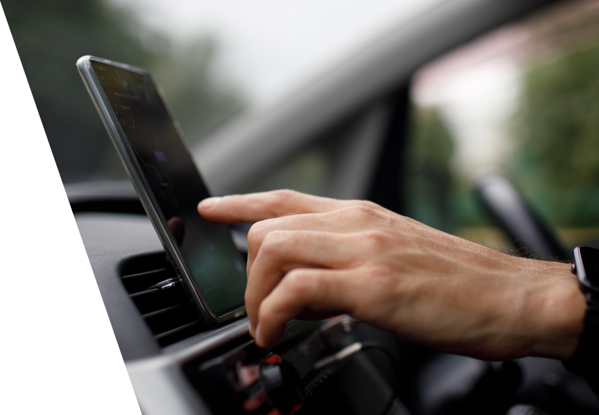
Connected Vehicles is a Fleet optimization and Telematics technology that not only tracks your fleet, it also reports on driver behaviour, vehicle performance, engine data and fault codes, etc. of each vehicle. All via a single web-based portal. We offer useable data and insight to help you be more productive and profitable. Learn more about the technology.
You pay upfront for the GO Device and an ongoing monthly fee for the service. We offer custom plans but please check out our featured plans and then call us at 1.888.963.1364 or email us for one of our affordable solutions.
The GO device is an inexpensive, Plug-&-Play device that is simple to operate. We have different options depending on your needs. One of our Knowledgeable Consultants will be happy to discuss your needs and recommend a custom solution to fit your needs and your budget. Please call 1.888.963.1364 or email us.
Connected Vehicles uses Geotab as the foundation for our solutions because we know that Geotab makes continuous improvements to the technology. And, these improvements are automatically available to all our customers. In addition, Connected Vehicles work with partners and 3rd Party service providers on developing ways of feeding data from other systems into MyGeotab, and from MyGeotab back into other systems. This means if you use QuickBooks™ as an example, you could use a partner’s Add-On to automatically generate your invoices from your Geotab timesheets.
We use SSL encryption, similar to the major financial institutions. You decide who has access to your database and what each person can access within the database. Connected Vehicles and Geotab employees have access to databases for troubleshooting purposes only, and we ask for your approval. To ensure complete transparency and accountability, all access into a customer database is audited and stored indefinitely within the database audit log for you when you wish to see it.

We offer HOS and DVIR solutions if you operate heavy commercial vehicles and are looking to improve your regulatory compliance and CSA score. Our HOS services work on specific Garmin devices as well as on Android devices through Geotab Drive. For more information, please speak with one of our knowledgeable staff.

Availability of the data will depend on vehicle type, make, model and year. Please contact us at support@connectedvehicles.com for a full list.
The GO device automatically attempts to detect VIN, odometer, fuel usage, seat belt status, and engine faults. In some cases, your vehicle may not support the full range of features either because information are not available in older vehicles, or the manufacturer has made it proprietary.
Engine data will not be available to the GO device if it is connected using a 3-wire harness, or if the vehicle does not provide any engine data. You may be enrolled in our “Base Plan” which means that you will not have access to engine data. Please email us at support@connectedvehicles.com to upgrade your account.
If the GO device gets RPM data from the vehicle, then rules or driver feedback can be set up within the MyGeotab software to detect over-revving of the engine. You can set thresholds in the software so it will alert you if the engine go over the chosen thresholds.
It mostly depends on the vehicle make, model, and year for the GO device to get access to this information. Both gas (petrol) and diesel fuel are generally supported. Other alternative fuel sources (propane, CNG), and hybrids may be supported but this will also depend on the vehicle type. Please contact us at support@connectedvehicles.com if you have any questions.
This is dependant on how the vehicle stores fuel data and some vehicles may not even store fuel data. If fuel data is unavailable, chances are that the device will be unable to access this information.

Every 15 seconds, the map is refreshed in the browser. The device update intervals are dependant on driver behavior or vehicle health. But, at a minimum, the GO device updates its location at least once every 100 seconds while driving. It updated the location more frequntly if there are changes in direction or speed.
Data will be retained for at least one year. However, should a customer have specific purging or archiving needs, Connected Vehicles and Geotab will assist in managing those requirements. Data is stored within servers managed by Geotab at Q9, Google Cloud Services or Microsoft Azure Services.
The odometer is recorded at the beginning, end, and at every hour of a trip. When the GO device detects an ignition change, it will send an odometer request to the engine. The same request is sent every hour if a trip lasts longer than an hour. The last recorded odometer time is displayed beside the odometer field within MyGeotab. For more information about the odometer and how MyGeotab interacts with it, please see the document here.
GPS odomoter is vehicle independent and
GPS data is usually accurate down to a few meters when in a good coverage area.

The software will be accessible to you at my.geotab.com regardless of your location, computer, or mobile device, because it runs in your device’s web browser. Please note that you do require an active internet connection to use the software on any device.
We support the following browsers:
Please note that some functionality may still require the use of Windows(R) ClickOnce. If you are using a web browser other than Internet Explorer, a browser extension may be necessary. Software will guide you in installing the extension suited for your browser after your first log in.
Following are the requirements:
It is a good idea to have access to a high speed internet connection.

We offer comprehensive set of reports to suit your business needs and you can even get custom reports to suit your business or application. We offer driver safety and behavior monitoring, risk management, zone entry and exit, real-time exceptions and many more reports.
Report customization is easy. We are here to help if you need us. If you wish to try it yourself, here are the steps after you log into the software:
This is a quick report:
Easily customize an existing report:
It is really simple to add the logo:
Once you have selected a report and it is displayed on the screen, you will see a PDF button and an Excel button at the top. Choosing either one of these will send the report out in that format.
You can select delivery options:
The maximum file size for emailed reports is 10 MB.
All further emails will be disabled for 60 minutes if the email limit is exceeded. In addition, the email report will be disabled if any of the following is true:
Please note that PDF email reports generally have a larger file size compared to Excel emailed reports.
Yes. By utilizing Geotab’s driver ID feature, reports can be run by vehicle or by driver.
You can change the refresh rate for the Dashboard graph – You define the schedule. You can find this under the Dashboard options. If you need the dashboard to have more real time values, just go into the Enable Dashboard options and change the refresh schedule.
The software sizes the graphs to best illustrate the information in the clearest and most concise way. Unfortunately, this is not something that you can change.
There might be a number of reasons this might be happening:
We support customized reporting through both Microsoft Excel and through the MyGeotab API. To create a custom report in Excel based off of a standard template:
You can send these reports to anyone. When turning on an existing rule, click the mail button to define email recipients. When creating a rule from scratch, select the notifications tab and select Add email to add recipients.